

|
|
User's guide
A short guide for helping the handling of the tables; hints for the exportation of the data.
|
||
 Gazetteer of the Republic of Hungary, 1st January, 2010
 |
||

The volume is a yearly publication of the Hungarian Central Statistical Office (HCSO) since 1992. The bilingual Gazetteer provides an insight into the data of the Hungarian administrative territorial units - the capital, towns with county's rights, towns, large communes and communes. It includes the official name of a locality, the name of the county to which the locality belongs, the notarial district to which the self-government of commune belongs, it provides detailed and summary data on the area size as well as on the number of resident population and the number of dwellings (as per 1st January, 2010). The chapters of the volume contain the identification registry numbers of the localities which are issued by the HCSO, the major territorial changes occurred from the 2nd January, 1990 to 1st January, 2010, and the list of notarial districts, of the minority self-governments effective on the 1st January, 2010 and the list of localities belonging to the different sub-regions by counties.
|
 The volume in PDF format |
Data of Gazetteer |
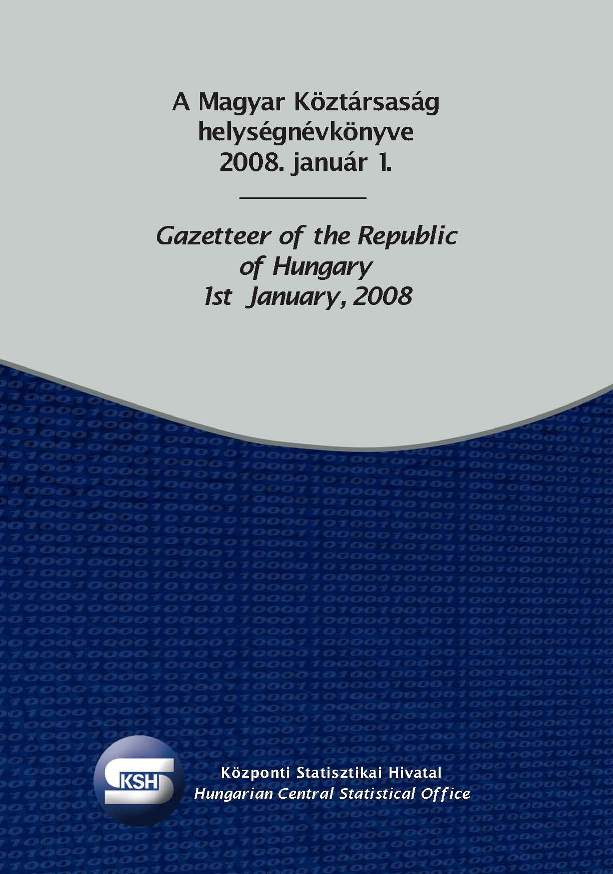
 Gazetteer of the Republic of Hungary, 1st January, 2009
 |
||

The volume is a yearly publication of the Hungarian Central Statistical Office (HCSO) since 1992. The bilingual Gazetteer provides an insight into the data of the Hungarian administrative territorial units - the capital, towns with county's rights, towns, large communes and communes. It includes the official name of a locality, the name of the county to which the locality belongs, the notarial district to which the self-government of commune belongs, it provides detailed and summary data on the area size as well as on the number of resident population and the number of dwellings (as per 1st January, 2009). The chapters of the volume contain the identification registry numbers of the localities which are issued by the HCSO, the major territorial changes occurred from the 2nd January, 1990 to 1st January, 2009, and the list of notarial districts, of the minority self-governments effective on the 1st January, 2009 and the list of localities belonging to the different sub-regions by counties.
|
 The volume in PDF format |
Data of Gazetteer |
|
|
||
|
Census history of most EU Member States goes back to the 19th century. In fact these data collections everywhere served as a basis for building up regular statistical activities and official statistical institutions. It was in 1960 that the European Communities first attempted to harmonize census activities, while in the next decades binding regulations (Council Directives) were adopted both on the dates and contents of censuses, including the possibility of using alternative methods, e.g. based on registers or sampling. The main data of the 1990/1991 round censuses based on the relevant Community Programme were summarized in a publication of Eurostat in late 1996. At the same time the preparatory activities for the next 2000-2001 censuses in the EU were already underway. The Statistical Programme Committee of the EU approved them in 1997, while Eurostat and the UNECE published in 1998 the Guidelines and table programme for the Community programme of population and housing censuses in 2001. This was furthermore specified for the Member States by Eurostat in 1999, including detailed tabulation designs on national, regional (NUTS-3) and locality (NUTS-5) levels. The Hungarian Central Statistical Office – having done the best in all areas of its competence to comply to the greatest extent with international data requirements – has normally been committed to provide Eurostat with our census data in conformity with the aforementioned tabulation programme. The Hungarian data were sent to Luxembourg in 2003 is now online. |
||
 Eurostat tables |
||
 The Detailed Gazetteer of the Republic of Hungary, 2003
|
||

The Detailed Gazetteer of the Republic of Hungary is a repository of names and data of localities of Hungary, which contains the administrative rank, level (type) of administration, the county it belongs to as well as important changes in regional structuring as of the 1st of January 2003.
The administrative names indicated – as far as the counties, the capital, the districts of the capital, the towns of county rank, the towns, the large villages and villages – are the same as those in the Administrative Register of the Settlements of the Hungarian Republic, written according to the Hungarian spelling rules. The names of the parts of the settlements (other inner areas, outskirts) do not belong to this circle. The latter – according to the agreement on inter-ministerial level – are shown in the Gazetteer by taking into account the Hungarian spelling rules, the local idioms and the principles of the uniform publication as well.
|
||
| The actualised detailed Gazetteer on the Internet | ||
 Social stratification of the population living in the agricultural holdings
 |
||

Using the model on social stratification created in Census 2001 and since then revised according to opinions of experts, the present volume gives information on the position in the structure of society of people living in agricultural holdings. The classification of persons and households into social strata had been based on their position in the labour market. The volume presents the position in social stratification of groups of different activity status (i.e. in employment, unemployed) among the population living in agricultural holdings by type and purpose of the given agricultural holding. The valuation of the data is helped by the fact that summary tables present together the social stratification of the whole population, the population living in the provinces and the agricultural population. Also to help comparison, detailed tables contain some of the main demographic and labour market characteristics of the population living in the provinces.
|
||
| Tables of the volume | ||
|
Back |